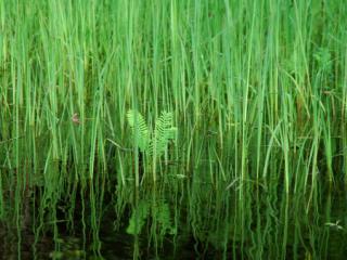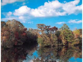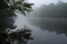
The Edisto River is acclaimed as “one of the longest free-flowing blackwater rivers in North America” and “the only ‘major South Carolina river system’ that lies entirely within the state” – and these are interesting tidbits of information to ponder while crossing a highway bridge and glancing briefly at the narrow tree-lined ribbon of dark water it spans – but look more closely. You’ll find that the Edisto is much more than that initial glance might suggest.
The Edisto River Basin drainage spreads over two-million acres (3,100 square miles), portions of 12 counties, and encompasses over six-thousand miles of streams and more than 360-thousand acres of wetlands.
The Edisto River begins as two forks (North and South) from just above South Carolina’s “fall line,” where the red-clay, rolling hills of the Piedmont give way to the Carolina Sand Hill and Coastal Plain, and then traverses the Low Country to the Atlantic Ocean. The length of the North Fork, South Fork, and Main Stem of the Edisto River, combined, total approximately 310 sinuous “river miles” from its headwaters to the ocean.
The South Fork of the Edisto River begins to carry that name as a small stream in Johnston, South Carolina, and then flows Southeast 105-miles through rural South Carolina until, around Branchville where it meets the North Fork.
The North Fork of the Edisto River is formed by the confluence of two smaller streams – Chinquapin Creek and Lightwood Knot Creek – that come together just south of Interstate 20, between Batesburg and Wagener. The North Fork meanders Southeast for about 66-miles to Orangeburg, then turns due South and continues another 20-miles to join the South Fork, forming the Main Stem of the Edisto ("Big Edisto").
The 109-mile-long “Big Edisto” continues to the Southeast - paralleling Highway 61 – until, as the river flows past Ghivan’s Ferry State Park, its course turns to the South. This takes the Edisto through the ACE Basin and eventually out to “Mile 0,” where the river meets the ocean at Edisto Beach.